Hiking Mt. Rausu In Hokkaido | 100 Famous Japanese Mountains
You are here:
- Home
- Hiking in Japan
- Hiking Mt. Rausu In Hokkaido…
On our quest to climb all 100 famous Japanese mountains or 日本百名山 (Nihon Hyaku-meizan) as they are known in Japanese, we summit Mt. Rausu, located on the beautiful Shiretoko peninsula on the island of Hokkaido in the north of Japan.
Mount Rausu is the highest peak on the Shiretoko peninsula and it’s not uncommon to encounter a bear on this hike since the Shiretoko peninsula has the highest density of bears of anywhere in Japan. Before setting off on this hike, make sure you have a working bear bell and bear spray. We hiked up Mt. Rausu from the Iwaobetsu Onsen trailhead and we will share our experience of climbing Mt. Rausu below.
The information we share in our 100 famous Japanese mountains blog posts include the type of information we wish we could have read before doing the hikes ourselves!

Name: Mt. Rausu (羅臼岳)
Location: Shiretoko Peninsula, Hokkaido
Height: 1660m
Time: 7.5 Hours (4.5 hours up and 3 hours down)
Difficulty Rating: 4/5
Trail Head: Sandan Hot Spring (see map below)
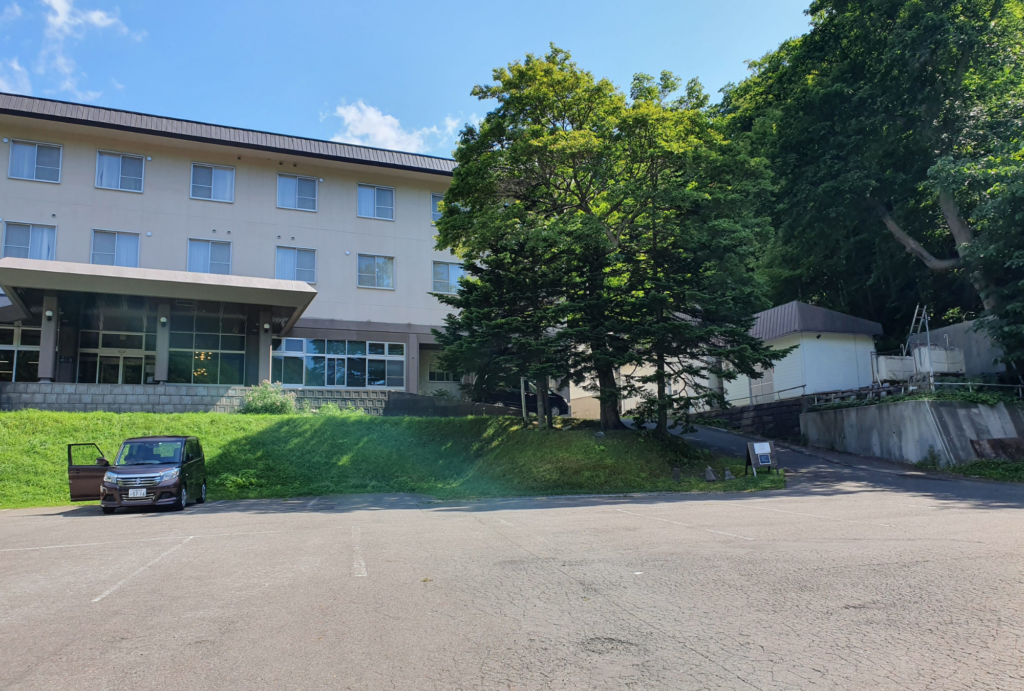
The trailhead for Mount Rausu is located at the sandan hot spring which is at the end of a beautiful road running alongside a river. There is also a hotel located here in addition to a hiker’s hut where it’s possible to stay overnight for a fee. There are toilets available at the trailhead and in the hotel carpark.

There is another trailhead starting from near the campground in Rausu on the other side of the peninsula but when we enquired at the Shiretoko nature center about hiking Mt. Rausu, we were recommended to start the hike from the Sandan hot spring.
There are around 6 spaces to park opposite the hotel car park and on the day we hiked, we saw many people had parked further down the road since the hiking car parking area was already full.

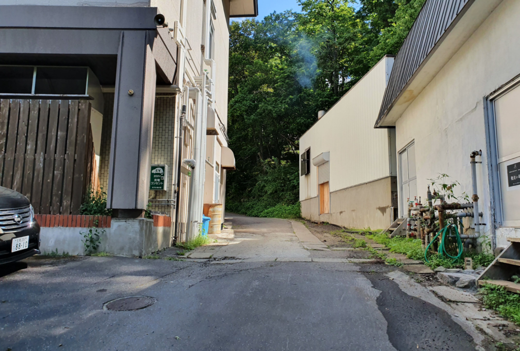
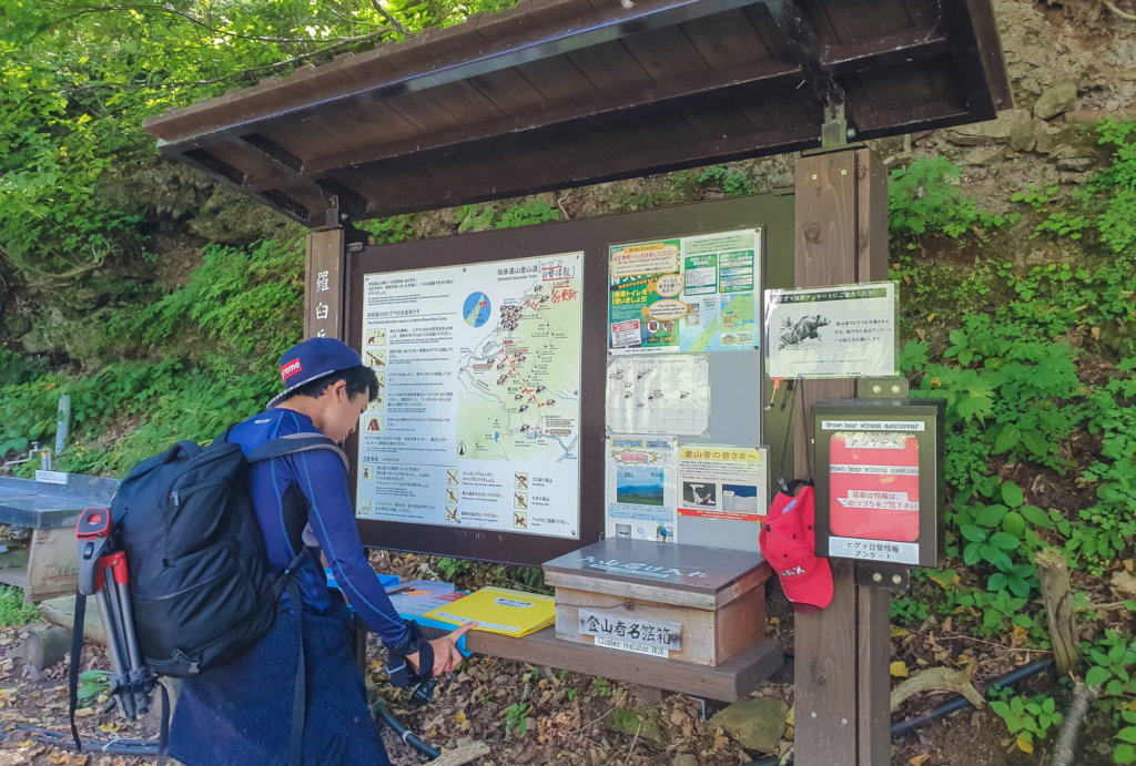
Once you arrive at the hot spring near the Mt. Rausu trailhead, you need to follow the road on the right side of the large hotel which leads to the hiker’s hut. Outside the hut, it’s necessary to register your name and there is also a notice board which shows where recent bear sightings have taken place. We started our hike at around 5am once the sun was starting to come up.
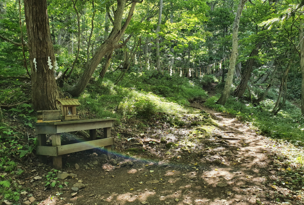
As soon as you start hiking, the path leads into a lush green forest. The path is well trodden and easy to follow. There is not much of a view until you have hiked around 30-45 minutes where you can start to see quick views of the sea every so often between the trees.
After some more hiking, the path then flattens and heads through a plateau called “gokuraku-daira” and this area is the most common place for bear encounters to occur. A few days before we did our hike, another hiker had encountered a bear at a 5m range but luckily had no issues.
The visibility in this area is poor since there are so many bushes and trees and you can’t see very far in front of you. We rang our bear bells and talked very loudly while hiking this part of the trail!
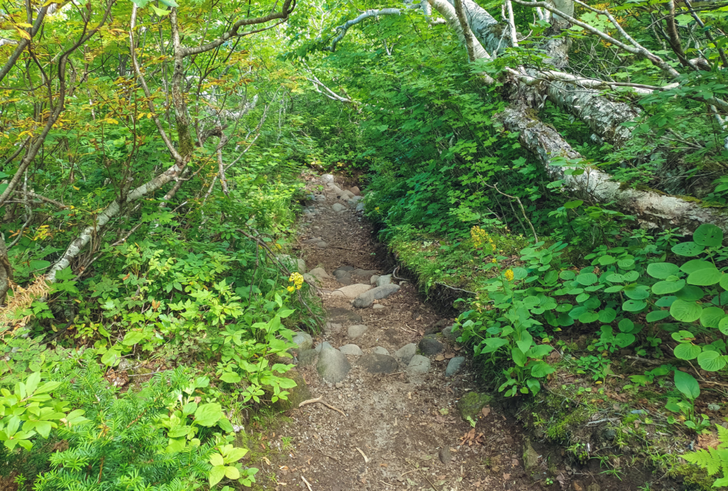
We passed by a toilet room towards the end of the plateau which can be used with a portable toilet. The path then continues into an uphill rocky area and you can start to see wonderful views of the sea and the Shiretoko peninsula.
At the top of the rocky ascent, there is a flat clearing which is where tents can be pitched for brave hikers who want to stay the night near the top of Mt. Rausu. There is enough space for around 6 tents and there is also a food locker located around 30m from the campsite where food can be stored while you are sleeping. There are no toilets located here.

From the campsite, you can clearly see the top of Mt. Rausu and it looks very close! There is a junction with three paths, the path to the right heads up Mt. Rausu, the path to the left is the path to take if you plan to hike more of the mountains along the Shiretoko ridge and the path straight ahead is the path leading to the Rausu campground trailhead.

Even though the summit of Mt. Rausu looked so close from the campsite, it took us around one more hour of hiking to finally reach the top. The path is very rocky and involves a lot of clambering over big rocks. There are arrows painted on the rocks so you know which way to go.

We finally reached the summit after around 4.5 hours of hiking and enjoyed the spectacular views of the entire peninsula. We took the same path back down which took around 3 hours. There were around 60 other hikers also hiking Mt. Rausu on the day of our hike in August 2020.

The highlight of our hike up Mt. Rausu was the beautiful sandan hot spring at the trail head. This natural hot spring was the perfect place to relax after a long day hiking! The hot spring consists of three pools with the top pool being the hottest. It’s located in the middle of the forest so you can enjoy a beautiful view while soaking your tired feet!
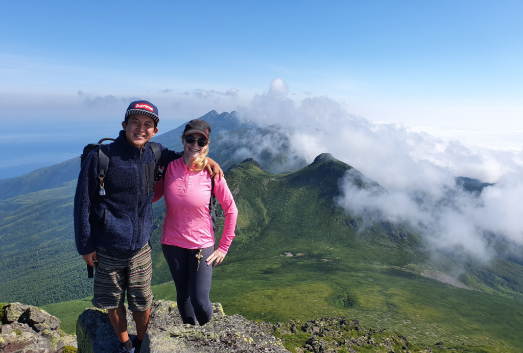
To be honest, we were extremely nervous about this hike before we did it. The thought of encountering a bear absolutely terrified us and the whole time we were hiking we were on edge. We were so lucky that we did not encounter any bears on the day we did the hike and made it up and down in one piece!
The views from the top of Mt. Rausu were absolutely incredible and it made us appreciate how vast the Shiretoko peninsula really is. Since there are not many roads on the Shiretoko peninsula, it’s hard to grasp the size of the place from just driving or staying in one of the main towns.
If you are thinking about hiking Mt. Rausu, we definitely recommend you to just do it! Don’t forget your bear bell and bear spray though!
